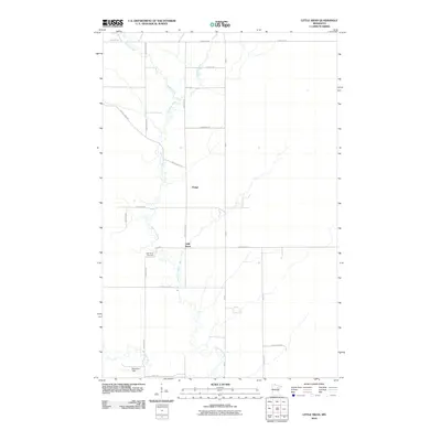
2010 Map of Little Swan
USGS Topo · Published 2010About this map
The East Swan River meanders through this portion of Saint Louis County, anchoring a landscape defined by small rural settlements and a grid of country roads. The community of Little Swan serves as a local focal point, located near the Little Swan Cemetery and the junction of several key routes like County Hwy-27 and Hingeley Rd. Further north, the settlement of Onega sits along County Hwy-444, illustrating the dispersed residential pattern typical of the Iron Range periphery. The terrain is drained by a network of waterways including Barber Creek, Dempsey Creek, and the West Swan River, which flows near Robertson Field in the southern reaches of the quadrangle. This 2010 survey provides a clear view of the modern road network, from major arteries like Hwy-5 to local connectors such as Zim Rd and Mestek Rd, reflecting the area's continued quiet character.
Find a feature on this map
25 named features on this map. Tap any name to fly to it.
Don’t see what you’re looking for? This feature index may not catch every label — zoom into the map to look around manually.
Map Details
Editions of this 2010 Little Swan Map
This is the sole edition of this map. No revisions or reprints were ever made.
Other maps of this area

1951 · Kirk
USGS Topo · 1:24,000

1951 · Hibbing
USGS Topo · 1:24,000

1951 · Casco
USGS Topo · 1:24,000

1951 · Buhl
USGS Topo · 1:24,000

1952 · Riley
USGS Topo · 1:24,000

1952 · Little Swan
USGS Topo · 1:24,000

1954 · Hibbing
USGS Topo · 1:250,000

1957 · Hibbing
USGS Topo · 1:250,000

1957 · Hibbing
USGS Topo · 1:24,000

1958 · Hibbing
USGS Topo · 1:250,000