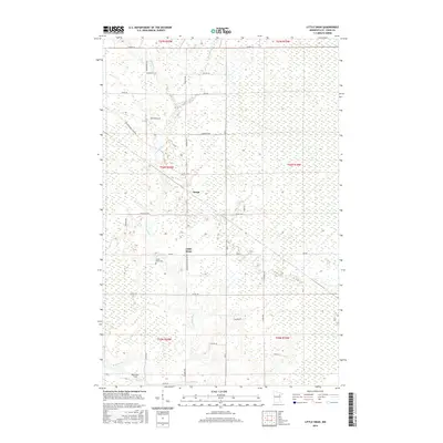
2016 Map of Little Swan
USGS Topo · Published 2016About this map
Little Swan sits amidst the extensive wetlands and winding waterways of the Iron Range region, where the E Swan River and W Swan River define the local topography. This 2016 survey illustrates a landscape of scattered rural settlements and significant infrastructure, with the small community of Onega and the namesake Little Swan serving as local hubs. The area is characterized by its drainage network, including Barber Cr and Dempsey Cr, which feed into the larger river systems. For local historians and genealogists, the map preserves the location of the Little Swan Cem and Robertson Field, alongside a well-developed network of township and county roads like Zim Rd and Meadowlands Trunk Rd that connect these remote northern Minnesota outposts.
Find a feature on this map
38 named features on this map. Tap any name to fly to it.
Don’t see what you’re looking for? This feature index may not catch every label — zoom into the map to look around manually.
Map Details
Editions of this 2016 Little Swan Map
This is the sole edition of this map. No revisions or reprints were ever made.
Other maps of this area

1951 · Kirk
USGS Topo · 1:24,000

1951 · Hibbing
USGS Topo · 1:24,000

1951 · Casco
USGS Topo · 1:24,000

1951 · Buhl
USGS Topo · 1:24,000

1952 · Riley
USGS Topo · 1:24,000

1952 · Little Swan
USGS Topo · 1:24,000

1954 · Hibbing
USGS Topo · 1:250,000

1957 · Hibbing
USGS Topo · 1:250,000

1957 · Hibbing
USGS Topo · 1:24,000

1958 · Hibbing
USGS Topo · 1:250,000