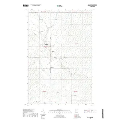
2019 Map of Little Swan
USGS Topo · Published 2019About this map
The E Swan River and W Swan River dominate this Saint Louis County landscape, carving through a region defined by extensive wetlands and a grid of rural connectors. The small settlement of Little Swan serves as a local focal point, accompanied by the Little Swan Cem and the nearby Onega locality. These communities reflect the enduring rural character of northern Minnesota, where the township and range lines of t56n r20w and t56n r19w organize the boggy terrain.
Find a feature on this map
34 named features on this map. Tap any name to fly to it.
Don’t see what you’re looking for? This feature index may not catch every label — zoom into the map to look around manually.
Map Details
Editions of this 2019 Little Swan Map
This is the sole edition of this map. No revisions or reprints were ever made.
Other maps of this area

1951 · Kirk
USGS Topo · 1:24,000

1951 · Hibbing
USGS Topo · 1:24,000

1951 · Casco
USGS Topo · 1:24,000

1951 · Buhl
USGS Topo · 1:24,000

1952 · Riley
USGS Topo · 1:24,000

1952 · Little Swan
USGS Topo · 1:24,000

1954 · Hibbing
USGS Topo · 1:250,000

1957 · Hibbing
USGS Topo · 1:250,000

1957 · Hibbing
USGS Topo · 1:24,000

1958 · Hibbing
USGS Topo · 1:250,000