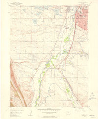
1957 Map of Littleton
USGS Topo · Published 1958About this map
Littleton is the commercial and social anchor of this 1950s survey, characterized by a rapid post-war transition from rural agricultural land to suburban development. The city's core is detailed with local institutions such as St Marys Sch, North Sch, and the Carmelite Monastery. West of the city, the landscape is defined by an intricate network of irrigation ditches and reservoirs, including Marston Lake and the Johnson Reservoir, which supported the region's evolving water needs. The South Platte River valley serves as a primary transportation corridor, hosting the Atchison Topeka and Santa Fe and the Denver and Rio Grande Western railroads. Notable entertainment and social landmarks of the era are clearly visible, such as the Centennial Racetrack and the Columbine Country Club, reflecting the growing recreational culture of the suburbanizing Front Range.
Find a feature on this map
52 named features on this map. Tap any name to fly to it.
Don’t see what you’re looking for? This feature index may not catch every label — zoom into the map to look around manually.
Map Details
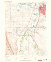
Editions of this 1957 Littleton Map
2 editions found
Other maps of this area

1890 · East Denver
USGS Topo · 1:125,000

1893 · Platte Canyon
USGS Topo · 1:125,000

1894 · Castle Rock
USGS Topo · 1:125,000

1899 · West Denver
USGS Topo · 1:125,000

1913 · Castle Rock
USGS Topo · 1:125,000

1935 · East Denver Nos. 3 and 4
USGS Topo · 1:48,000

1938 · Morrison
USGS Topo · 1:24,000

1940 · Englewood
USGS Topo · 1:31,680

1940 · Castle Rock
USGS Topo · 1:62,500

1941 · Fort Logan
USGS Topo · 1:31,680