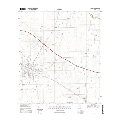
2015 Map of Live Oak East
USGS Topo · Published 2015About this map
Live Oak serves as the focal point of this North Florida landscape, where the town’s grid meets the Florida Gulf & Atlantic RR corridor. The geography is defined by a distinct cluster of karst features and wetlands, including Gum Slough, Hare Lake, and Little Hell Lake, which illustrate the region's typical limestone-influenced hydrology. To the north, the terrain transitions into Horse Prairie, a named landscape feature that suggests the area's agricultural and grazing history.
Find a feature on this map
144 named features on this map. Tap any name to fly to it.
Don’t see what you’re looking for? This feature index may not catch every label — zoom into the map to look around manually.
Map Details
Editions of this 2015 Live Oak East Map
This is the sole edition of this map. No revisions or reprints were ever made.
Other maps of this area

1954 · Valdosta
USGS Topo · 1:250,000

1955 · Mayo NE
USGS Topo · 1:24,000

1958 · Valdosta
USGS Topo · 1:250,000

1958 · Fort Union
USGS Topo · 1:24,000

1959 · Valdosta
USGS Topo · 1:250,000

1959 · Live Oak West
USGS Topo · 1:24,000

1961 · Live Oak East
USGS Topo · 1:24,000

1961 · Hillcoat
USGS Topo · 1:24,000

1961 · White Springs West
USGS Topo · 1:24,000

1962 · Genoa
USGS Topo · 1:24,000