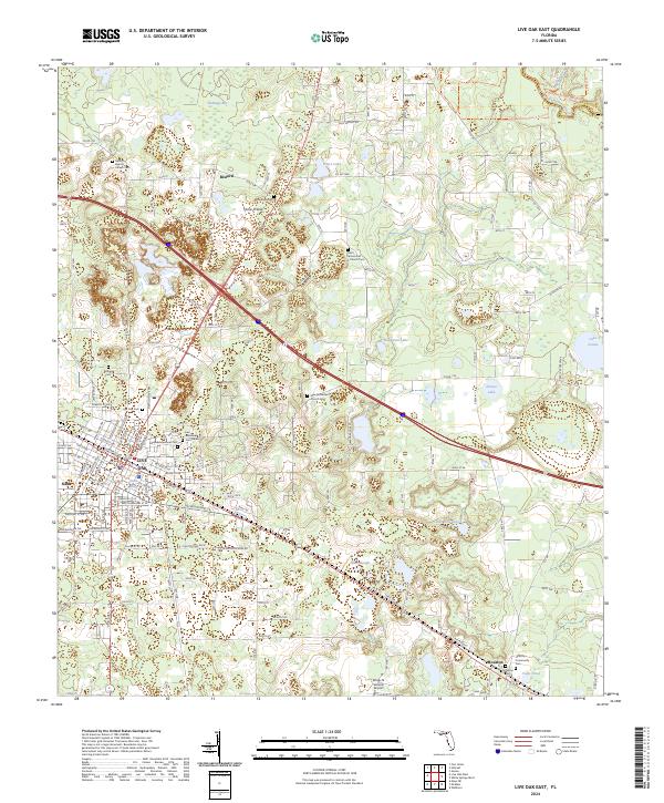
2024 Map of Live Oak East
USGS Topo · Published 2024About this map
Live Oak serves as the focal point of this North Florida landscape, where the urban grid of the city meets the marshy basins and prairies of eastern Suwannee County. The map documents a territory defined by its cemeteries and rural communities, from Rixford in the north to Houston in the southeast. Natural features such as Horse Prairie and Gum Slough suggest the low-lying, water-dependent character of the terrain, while larger bodies like Workman Lake and Dexter Lake dot the pine-and-oak woodlands. The presence of several historic church grounds, including Antioch Baptist Church Cem and Saint James A M E Church Cem, offers significant research value for genealogists tracking family roots in the region. Conservation efforts are evident along the northeast corner near the Suwannee River, where the Woods Ferry Conservation Area Trl and Deer Lake Preserve protect the river corridor's ecology.
Find a feature on this map
148 named features on this map. Tap any name to fly to it.
Don’t see what you’re looking for? This feature index may not catch every label — zoom into the map to look around manually.
Map Details
Editions of this 2024 Live Oak East Map
This is the sole edition of this map. No revisions or reprints were ever made.
Other maps of this area

1954 · Valdosta
USGS Topo · 1:250,000

1955 · Mayo NE
USGS Topo · 1:24,000

1958 · Valdosta
USGS Topo · 1:250,000

1958 · Fort Union
USGS Topo · 1:24,000

1959 · Valdosta
USGS Topo · 1:250,000

1959 · Live Oak West
USGS Topo · 1:24,000

1961 · Live Oak East
USGS Topo · 1:24,000

1961 · Hillcoat
USGS Topo · 1:24,000

1961 · White Springs West
USGS Topo · 1:24,000

1962 · Genoa
USGS Topo · 1:24,000