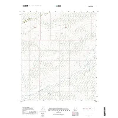
2017 Map of Livengood A-1 NW
USGS Topo · Published 2017About this map
The Chatanika River cuts through this interior landscape, marking a transition between the northern Yukon-Koyukuk Census Area and the Fairbanks North Star Borough. This territory is defined by its dramatic topographic reliefs, most notably the high ground at Bluff Number 2 and Pilot Bluff. Connectivity is established via the Steese Expressway/Highway, which follows the river's path, and the southern Neal Brown Road.
Find a feature on this map
21 named features on this map. Tap any name to fly to it.
Don’t see what you’re looking for? This feature index may not catch every label — zoom into the map to look around manually.
Map Details
Editions of this 2017 Livengood A-1 NW Map
This is the sole edition of this map. No revisions or reprints were ever made.
Other maps of this area

1945 · Livengood
USGS Topo · 1:250,000

1951 · Livengood
USGS Topo · 1:250,000

1951 · Livengood B-2
USGS Topo · 1:63,360

1952 · Livengood A-2
USGS Topo · 1:63,360

1952 · Livengood A-1
USGS Topo · 1:63,360
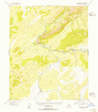
1954 · Livengood B-2
USGS Topo · 1:63,360
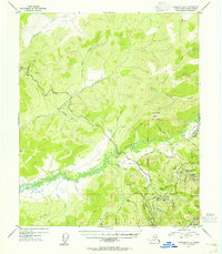
1954 · Livengood A-2
USGS Topo · 1:63,360

1954 · Livengood B-1
USGS Topo · 1:63,360
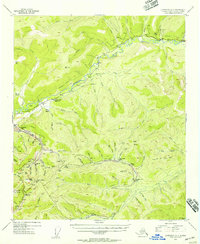
1954 · Livengood A-1
USGS Topo · 1:63,360

1956 · Livengood
USGS Topo · 1:250,000