
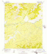
1954 Map of Livengood B-1
USGS Topo · Published 1955About this map
Beaver Creek and its many meandering tributaries define this mid-1950s interior Alaskan landscape. The area is characterized by a high concentration of named watercourses, including Nome Creek, Ophir Creek, and Brigham Creek, which cut through a series of prominent peaks. Evidence of human activity and resource extraction is sparse but significant, represented by a single Mine and a small cluster of Cabins located near the headwaters of unnamed drainages. Survey markers such as VABM 3510 O'Brien, VABM 2578 Ophir, and VABM 2521 Belle provide precise elevation data for the surrounding ridges. To the south, the Belle Lateral suggests a specific land designation or boundary amidst the network of streams like Mc Kay Creek and Boston Creek.
Find a feature on this map
17 named features on this map. Tap any name to fly to it.
Don’t see what you’re looking for? This feature index may not catch every label — zoom into the map to look around manually.
Map Details
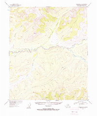
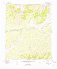
Editions of this 1954 Livengood B-1 Map
4 editions found
Other maps of this area

1945 · Livengood
USGS Topo · 1:250,000

1951 · Livengood
USGS Topo · 1:250,000

1951 · Circle
USGS Topo · 1:250,000

1951 · Livengood C-2
USGS Topo · 1:63,360

1951 · Livengood C-1
USGS Topo · 1:63,360

1951 · Circle C-6
USGS Topo · 1:63,360

1951 · Livengood B-2
USGS Topo · 1:63,360

1952 · Livengood A-2
USGS Topo · 1:63,360

1952 · Livengood A-1
USGS Topo · 1:63,360

1954 · Livengood C-2
USGS Topo · 1:63,360