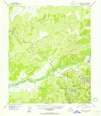
1954 Map of Livengood A-2
USGS Topo · Published 1955About this map
Chatanika River winding through the center of this 1954 landscape reveals a region defined by early twentieth-century mining and transportation. The presence of Old Railroad Grade and Davidson Ditch indicates the significant industrial infrastructure required to support the gold camps of the Fairbanks district. Localized hubs like Old Chatanika, Olnes, and Pedro Camp anchor the drainage systems, while the Elliott Highway snakes along the ridges north of Washington Creek. To the south, high points like Pedro Dome and Haystack Mountain overlook a network of active gulches and creeks, including Marshal Gulch and Little Eldorado Creek. This survey captures the transition from rail-and-water-based mining operations to the modernized road access that reshaped the interior of Alaska.
Find a feature on this map
59 named features on this map. Tap any name to fly to it.
Don’t see what you’re looking for? This feature index may not catch every label — zoom into the map to look around manually.
Map Details
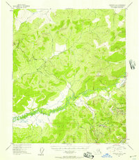
Editions of this 1954 Livengood A-2 Map
2 editions found
Other maps of this area

1945 · Livengood
USGS Topo · 1:250,000

1949 · Fairbanks D-1
USGS Topo · 1:62,500

1949 · Fairbanks D-2
USGS Topo · 1:62,500

1949 · Fairbanks D-3
USGS Topo · 1:63,360

1950 · Fairbanks
USGS Topo · 1:250,000

1950 · Fairbanks D-3
USGS Topo · 1:63,360

1951 · Fairbanks
USGS Topo · 1:250,000

1951 · Livengood
USGS Topo · 1:250,000

1951 · Livengood B-2
USGS Topo · 1:63,360

1952 · Fairbanks D-2
USGS Topo · 1:63,360