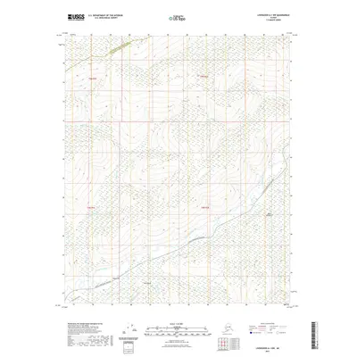
2021 Map of Livengood A-1 NW
USGS Topo · Published 2021About this map
The Chatanika River corridor dominates this northern interior landscape, situated at the border of the Yukon-Koyukuk Census Area and Fairbanks North Star Borough. The river valley is defined by engineered water management features, most notably the Chatanika Siphon and the Middle Ditch, which represent the historical infrastructure required to support placer mining operations in this region. Settled pockets like Poker Flat and the location known as Bluff Number 2 are connected by the primary transit artery, the Steese Expressway/Highway. High terrain points like Pilot Bluff overlook a complex network of drainage basins, including Crooked Cr and Belle Cr. This mapping reveals a landscape where modern transportation and historical hydraulic mining engineering intersect across the Alaskan interior.
Find a feature on this map
20 named features on this map. Tap any name to fly to it.
Don’t see what you’re looking for? This feature index may not catch every label — zoom into the map to look around manually.
Map Details
Editions of this 2021 Livengood A-1 NW Map
This is the sole edition of this map. No revisions or reprints were ever made.
Other maps of this area

1945 · Livengood
USGS Topo · 1:250,000

1951 · Livengood
USGS Topo · 1:250,000

1951 · Livengood B-2
USGS Topo · 1:63,360

1952 · Livengood A-2
USGS Topo · 1:63,360

1952 · Livengood A-1
USGS Topo · 1:63,360
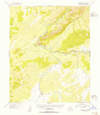
1954 · Livengood B-2
USGS Topo · 1:63,360
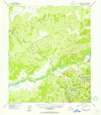
1954 · Livengood A-2
USGS Topo · 1:63,360

1954 · Livengood B-1
USGS Topo · 1:63,360
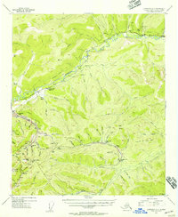
1954 · Livengood A-1
USGS Topo · 1:63,360

1956 · Livengood
USGS Topo · 1:250,000