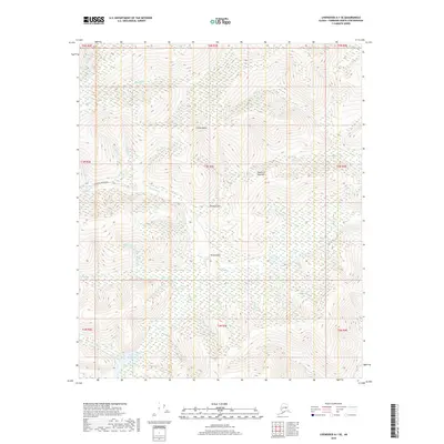
2018 Map of Livengood A-1 SE
USGS Topo · Published 2018About this map
Fairbanks Creek Road provides the primary access route through this interior Alaskan landscape, following the drainage of Fairbanks Cr through a region defined by its gold-mining nomenclature. High points like Coffee Dome and the Fourth of July Hill anchor the terrain, overlooking a dense network of watercourses. The local geography is heavily marked by the legacy of the Fairbanks Mining District, evidenced by evocative place names such as Dream Gulch, Snow Gulch, and the curiously named Too Much Gold Cr. The southern portion of the map is dominated by the wetlands and meandering paths of Fish Cr and Slippery Cr, illustrating the complex drainage patterns that early prospectors and settlers navigated north of Fairbanks.
Find a feature on this map
33 named features on this map. Tap any name to fly to it.
Don’t see what you’re looking for? This feature index may not catch every label — zoom into the map to look around manually.
Map Details
Editions of this 2018 Livengood A-1 SE Map
This is the sole edition of this map. No revisions or reprints were ever made.
Other maps of this area

1945 · Livengood
USGS Topo · 1:250,000

1949 · Fairbanks D-1
USGS Topo · 1:62,500

1950 · Fairbanks
USGS Topo · 1:250,000

1950 · Big Delta
USGS Topo · 1:250,000

1950 · Big Delta D-6
USGS Topo · 1:63,360

1951 · Big Delta
USGS Topo · 1:250,000

1951 · Fairbanks
USGS Topo · 1:250,000

1951 · Livengood
USGS Topo · 1:250,000

1951 · Circle
USGS Topo · 1:250,000

1952 · Big Delta D-6
USGS Topo · 1:63,360