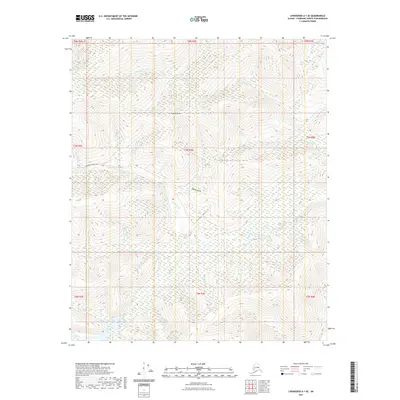
2021 Map of Livengood A-1 SE
USGS Topo · Published 2021About this map
Coffee Dome and Fourth of July Hill anchor this upland region in the Fairbanks North Star Borough, where a dense network of watercourses drains toward the south and east. The landscape's naming conventions hint at its prospecting history, with drainages such as Too-Much-Gold Cr, All-Gold Cr, and Fairbanks Cr carving through the high country. Only a single arterial route, Fairbanks Creek Road, provides access across the northern half of this terrain.
Find a feature on this map
33 named features on this map. Tap any name to fly to it.
Don’t see what you’re looking for? This feature index may not catch every label — zoom into the map to look around manually.
Map Details
Editions of this 2021 Livengood A-1 SE Map
This is the sole edition of this map. No revisions or reprints were ever made.
Other maps of this area

1945 · Livengood
USGS Topo · 1:250,000

1949 · Fairbanks D-1
USGS Topo · 1:62,500

1950 · Fairbanks
USGS Topo · 1:250,000

1950 · Big Delta
USGS Topo · 1:250,000

1950 · Big Delta D-6
USGS Topo · 1:63,360

1951 · Big Delta
USGS Topo · 1:250,000

1951 · Fairbanks
USGS Topo · 1:250,000

1951 · Livengood
USGS Topo · 1:250,000

1951 · Circle
USGS Topo · 1:250,000

1952 · Big Delta D-6
USGS Topo · 1:63,360