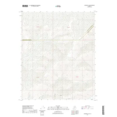
2017 Map of Livengood A-2 NE
USGS Topo · Published 2017About this map
Haystack Mtn rises above the drainage networks north of the Chatanika River, serving as a primary landmark in this interior Alaskan wilderness. This 2017 survey shows the complex convergence of creek systems including Washington Cr, Poker Cr, and its tributary Little Poker Cr, which carve through the terrain. The map records the boundary between the Yukon-Koyukuk Census Area and Fairbanks North Star Borough, showing how modern administrative lines cross these ancient waterways. Along the southern edge, localized road development appears via Cogan Drive, Leuthold Drive, and Middle Fork Road, indicating the subtle human footprint in the vicinity of Caribou Cr and the Willow Cr basin.
Find a feature on this map
17 named features on this map. Tap any name to fly to it.
Don’t see what you’re looking for? This feature index may not catch every label — zoom into the map to look around manually.
Map Details
Editions of this 2017 Livengood A-2 NE Map
This is the sole edition of this map. No revisions or reprints were ever made.
Other maps of this area

1945 · Livengood
USGS Topo · 1:250,000

1951 · Livengood
USGS Topo · 1:250,000

1951 · Livengood B-2
USGS Topo · 1:63,360

1952 · Livengood A-2
USGS Topo · 1:63,360

1952 · Livengood A-1
USGS Topo · 1:63,360
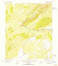
1954 · Livengood B-2
USGS Topo · 1:63,360
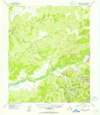
1954 · Livengood A-2
USGS Topo · 1:63,360

1954 · Livengood B-1
USGS Topo · 1:63,360
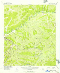
1954 · Livengood A-1
USGS Topo · 1:63,360

1956 · Livengood
USGS Topo · 1:250,000