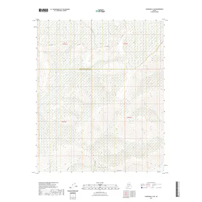
2021 Map of Livengood A-2 NE
USGS Topo · Published 2021About this map
Haystack Mtn anchors the southern landscape of this interior Alaskan quadrangle, where the headwaters of the Chatanika River begin to take shape. The terrain is defined by a dense network of drainages, including the branching paths of Willow Cr and Middle Fork Willow Cr which flow south toward the river. Historically significant access routes are visible in the northern hills, where the Tri Creek Trl and Moose Creek Trl cut across the high ground between Washington Cr and Moose Cr. The boundary between the Yukon-Koyukuk Census Area and Fairbanks North Star Borough bisects the map, marking a transition between administrative regions. Local road developments such as Cogan Drive and Middle Fork Road indicate more recent human footprint in this interior wilderness.
Find a feature on this map
20 named features on this map. Tap any name to fly to it.
Don’t see what you’re looking for? This feature index may not catch every label — zoom into the map to look around manually.
Map Details
Editions of this 2021 Livengood A-2 NE Map
This is the sole edition of this map. No revisions or reprints were ever made.
Other maps of this area

1945 · Livengood
USGS Topo · 1:250,000

1951 · Livengood
USGS Topo · 1:250,000

1951 · Livengood B-2
USGS Topo · 1:63,360

1952 · Livengood A-2
USGS Topo · 1:63,360

1952 · Livengood A-1
USGS Topo · 1:63,360
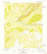
1954 · Livengood B-2
USGS Topo · 1:63,360
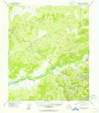
1954 · Livengood A-2
USGS Topo · 1:63,360

1954 · Livengood B-1
USGS Topo · 1:63,360
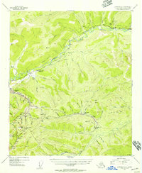
1954 · Livengood A-1
USGS Topo · 1:63,360

1956 · Livengood
USGS Topo · 1:250,000