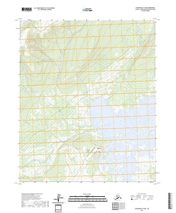
2024 Map of Livengood A-5 NW
USGS Topo · Published 2024About this map
Minto sits as a vital interior settlement near the confluence of local waterways and transport corridors in this northern landscape. The community is anchored by the Minto Al Wright Airport, with Airport Street providing direct access to the airfield. To the north, the Elliott Highway cuts across the terrain, serving as the primary overland artery, while the Minto Road branches off to connect the village with the broader region. The geography is defined by its complex hydrography, including the winding Tolovana River and smaller drainages like Moose Creek and Uncle Sam Creek. This contemporary survey reflects the importance of aviation and road access in maintaining the remote communities of the Yukon-Koyukuk region, illustrating the intersection of modern infrastructure with the natural flow of the Alaskan interior.
Find a feature on this map
13 named features on this map. Tap any name to fly to it.
Don’t see what you’re looking for? This feature index may not catch every label — zoom into the map to look around manually.
Map Details
Editions of this 2024 Livengood A-5 NW Map
This is the sole edition of this map. No revisions or reprints were ever made.
Other maps of this area

1945 · Livengood
USGS Topo · 1:250,000

1951 · Livengood
USGS Topo · 1:250,000

1951 · Livengood A-5
USGS Topo · 1:63,360

1952 · Livengood A-6
USGS Topo · 1:63,360

1952 · Livengood B-5
USGS Topo · 1:63,360

1953 · Livengood A-6
USGS Topo · 1:63,360
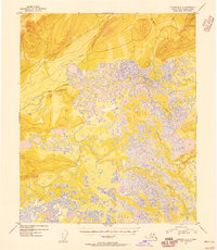
1954 · Livengood A-5
USGS Topo · 1:63,360

1956 · Livengood B-6
USGS Topo · 1:63,360

1956 · Livengood
USGS Topo · 1:250,000

1964 · Livengood
USGS Topo · 1:250,000