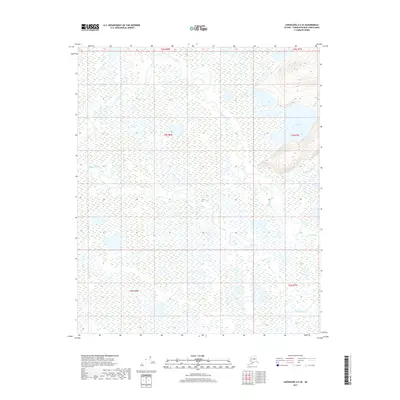
2017 Map of Livengood A-5 SE
USGS Topo · Published 2017About this map
The Tatalina River and the Chatanika River define this interior Alaskan landscape within the Yukon-Koyukuk Census Area. This remote terrain is characterized by a low-lying wetland complex where the rivers meander extensively, creating a network of oxbows and marshy flats. The northern portion of the quadrangle includes Cod Lake, situated just north of an unnamed upland ridge that provides a rare point of elevation in an otherwise fluid landscape. The drainage patterns of Washington Cr in the southeast further illustrate the hydrologic complexity of the region. This 2017 survey reflects the area's enduring status as a wilderness frontier, showing the land as it exists without roads or permanent settlements, preserving the raw geography of the Alaska interior.
Find a feature on this map
10 named features on this map. Tap any name to fly to it.
Don’t see what you’re looking for? This feature index may not catch every label — zoom into the map to look around manually.
Map Details
Editions of this 2017 Livengood A-5 SE Map
This is the sole edition of this map. No revisions or reprints were ever made.
Other maps of this area

1945 · Livengood
USGS Topo · 1:250,000

1949 · Fairbanks D-4
USGS Topo · 1:63,360

1950 · Fairbanks
USGS Topo · 1:250,000

1950 · Fairbanks D-5
USGS Topo · 1:63,360

1951 · Fairbanks
USGS Topo · 1:250,000

1951 · Livengood
USGS Topo · 1:250,000

1951 · Livengood A-5
USGS Topo · 1:63,360

1951 · Livengood A-4
USGS Topo · 1:63,360

1952 · Fairbanks D-4
USGS Topo · 1:63,360

1952 · Fairbanks
USGS Topo · 1:250,000