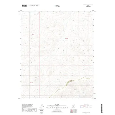
2017 Map of Livengood B-1 SW
USGS Topo · Published 2017About this map
Ophir Cr and Trail Cr carve through the interior highlands where the Yukon-Koyukuk Census Area meets the Fairbanks North Star Borough. This 2017 survey captures a remote expanse of the Alaskan interior, defined by intricate contour lines that reveal the complex drainage patterns of the region. The map focuses on the divide between these northern watersheds and the Belle Cr drainage to the south. The layout of the township and range system, including t6n r1e and t6n r2e, provides a structural framework for a landscape otherwise characterized by its natural watercourses and topographic relief.
Find a feature on this map
8 named features on this map. Tap any name to fly to it.
Don’t see what you’re looking for? This feature index may not catch every label — zoom into the map to look around manually.
Map Details
Editions of this 2017 Livengood B-1 SW Map
This is the sole edition of this map. No revisions or reprints were ever made.
Other maps of this area

1945 · Livengood
USGS Topo · 1:250,000

1951 · Livengood
USGS Topo · 1:250,000

1951 · Livengood B-2
USGS Topo · 1:63,360

1952 · Livengood A-2
USGS Topo · 1:63,360

1952 · Livengood A-1
USGS Topo · 1:63,360
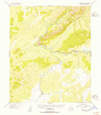
1954 · Livengood B-2
USGS Topo · 1:63,360
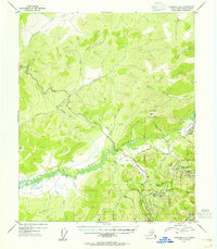
1954 · Livengood A-2
USGS Topo · 1:63,360

1954 · Livengood B-1
USGS Topo · 1:63,360
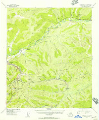
1954 · Livengood A-1
USGS Topo · 1:63,360

1956 · Livengood
USGS Topo · 1:250,000