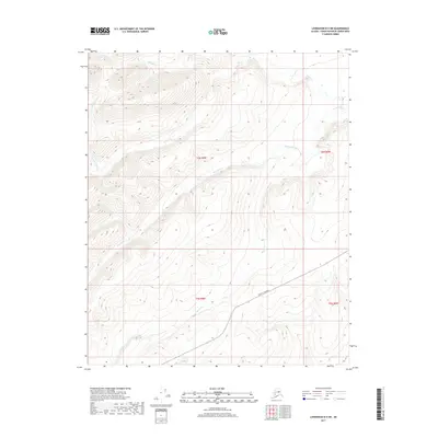
2017 Map of Livengood B-5 SW
USGS Topo · Published 2017About this map
The Elliott Highway cuts a lone path through the southeastern corner of this Alaskan interior landscape, representing the primary land artery for this part of the Yukon-Koyukuk Census Area. The terrain is defined by a dense network of high ridges and deep drainage systems, where watercourses like Starvation Cr and Moose Cr have carved distinct paths through the hills. To the north, the headwaters of Goose Cr and the Left Fork Goose Cr emerge from the steep elevations, while Chocolate Cr flows along the northern edge of the survey. This 2017 study illustrates the sparse development of the region, where the Public Land Survey System grid (including townships t6n r9w and t5n r9w) overlays a landscape shaped almost entirely by natural topography and the singular route of the highway.
Find a feature on this map
10 named features on this map. Tap any name to fly to it.
Don’t see what you’re looking for? This feature index may not catch every label — zoom into the map to look around manually.
Map Details
Editions of this 2017 Livengood B-5 SW Map
This is the sole edition of this map. No revisions or reprints were ever made.
Other maps of this area

1945 · Livengood
USGS Topo · 1:250,000

1951 · Livengood
USGS Topo · 1:250,000

1951 · Livengood A-5
USGS Topo · 1:63,360

1952 · Livengood A-6
USGS Topo · 1:63,360

1952 · Livengood B-5
USGS Topo · 1:63,360

1953 · Livengood A-6
USGS Topo · 1:63,360
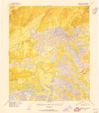
1954 · Livengood A-5
USGS Topo · 1:63,360

1956 · Livengood B-6
USGS Topo · 1:63,360

1956 · Livengood
USGS Topo · 1:250,000

1964 · Livengood
USGS Topo · 1:250,000