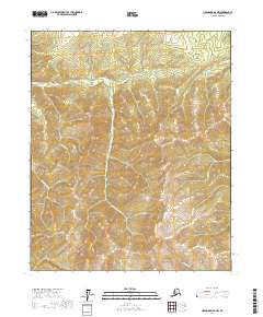
2017 Map of Livengood B-6 NW
USGS Topo · Published 2017About this map
Rampart and the nearby Idaho Bar occupy the southwestern corner of this landscape, reflecting the long-standing mining and river transport history of the Yukon-Koyukuk region. The interior is defined by a dense network of gold-bearing drainages, where Hunter Cr and its lengthy tributary Ninety-two Hunter Cr carve through high elevation contours. This terrain is marked by specific mining-era identifiers like Forty-seven Gulch and Sluicebox Cr, names that speak to the placer mining operations that once populated these remote valleys.
Find a feature on this map
19 named features on this map. Tap any name to fly to it.
Don’t see what you’re looking for? This feature index may not catch every label — zoom into the map to look around manually.
Map Details
Editions of this 2017 Livengood B-6 NW Map
This is the sole edition of this map. No revisions or reprints were ever made.
Other maps of this area

1945 · Livengood
USGS Topo · 1:250,000

1951 · Tanana
USGS Topo · 1:250,000

1951 · Livengood
USGS Topo · 1:250,000

1956 · Tanana B-1
USGS Topo · 1:63,360

1956 · Tanana C-1
USGS Topo · 1:63,360

1956 · Livengood B-6
USGS Topo · 1:63,360

1956 · Livengood C-6
USGS Topo · 1:63,360

1956 · Livengood
USGS Topo · 1:250,000

1956 · Tanana
USGS Topo · 1:250,000

1960 · Tanana
USGS Topo · 1:250,000