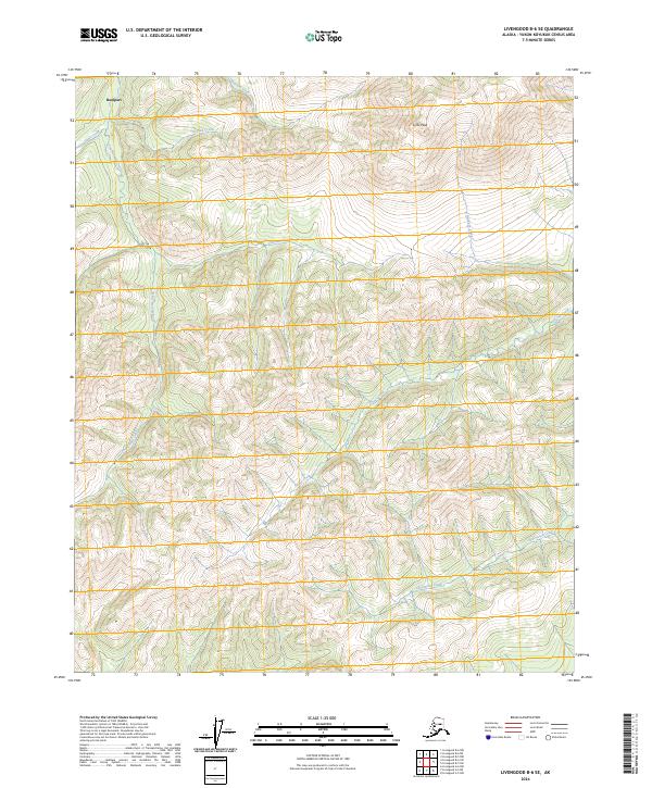
2024 Map of Livengood B-6 SE
USGS Topo · Published 2024About this map
Rampart sits at the northern edge of this Interior Alaska landscape, where the terrain begins its ascent toward the high ground of the Yukon-Koyukuk region. The topography is defined by a dense network of drainages and prominent elevations, most notably Lynx Peak which dominates the northeast. This 2024 survey captures the intricate hydrology of the area, tracing the winding paths of Troublesome Creek and Quail Creek as they cut through the ridges. The map reveals a wild, unpopulated landscape structured by the Public Land Survey System, with township boundaries like t6n r11w and t5n r10w providing the only human-imposed order over the natural features. Local history and geography are preserved in the evocative names of the watercourses, from the northern Blizzard Creek to the southern reaches of Starvation Creek, reflecting the character of this subarctic wilderness.
Find a feature on this map
13 named features on this map. Tap any name to fly to it.
Don’t see what you’re looking for? This feature index may not catch every label — zoom into the map to look around manually.
Map Details
Editions of this 2024 Livengood B-6 SE Map
This is the sole edition of this map. No revisions or reprints were ever made.
Other maps of this area

1945 · Livengood
USGS Topo · 1:250,000

1951 · Livengood
USGS Topo · 1:250,000

1951 · Livengood A-5
USGS Topo · 1:63,360

1952 · Livengood A-6
USGS Topo · 1:63,360

1952 · Livengood B-5
USGS Topo · 1:63,360

1953 · Livengood A-6
USGS Topo · 1:63,360
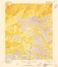
1954 · Livengood A-5
USGS Topo · 1:63,360

1956 · Livengood B-6
USGS Topo · 1:63,360

1956 · Livengood
USGS Topo · 1:250,000

1964 · Livengood
USGS Topo · 1:250,000