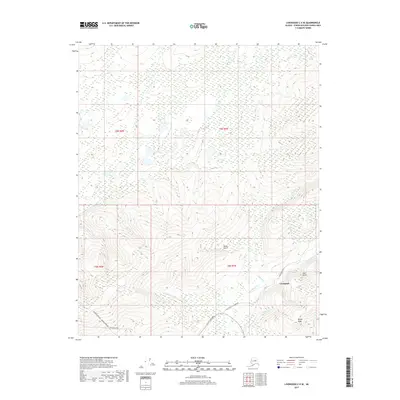
2017 Map of Livengood C-4 SE
USGS Topo · Published 2017About this map
Livengood serves as the focal point for this interior Alaskan landscape, situated where the Elliott Highway meets the historic mining district. The terrain is defined by a dense network of gold-bearing drainages including Livengood Cr, Myrtle Cr, and Ready Bullion Cr, which carve through the uplands beneath Money Knob. This 2017 survey documents the modern infrastructure essential to the region, most notably the corridor of the Alaska Pipeline and the Dalton Highway as they traverse the southwestern corner of the quadrangle. Local routes such as Old Elliott @ Livengood hint at earlier transportation patterns before the modern highway alignment. The geography is characterized by numerous small gulches, such as Stone Gulch and Alder Gulch, which feed into the larger creek systems, reflecting the area's long-standing connection to placer mining and resource extraction.
Find a feature on this map
21 named features on this map. Tap any name to fly to it.
Don’t see what you’re looking for? This feature index may not catch every label — zoom into the map to look around manually.
Map Details
Editions of this 2017 Livengood C-4 SE Map
This is the sole edition of this map. No revisions or reprints were ever made.
Other maps of this area

1945 · Livengood
USGS Topo · 1:250,000

1951 · Livengood
USGS Topo · 1:250,000

1952 · Livengood C-4
USGS Topo · 1:63,360

1953 · Livengood B-4
USGS Topo · 1:63,360

1954 · Livengood B-3
USGS Topo · 1:63,360

1954 · Livengood C-4
USGS Topo · 1:63,360
1954 · Livengood C-3
USGS Topo · 1:63,360

1956 · Livengood
USGS Topo · 1:250,000

1964 · Livengood
USGS Topo · 1:250,000
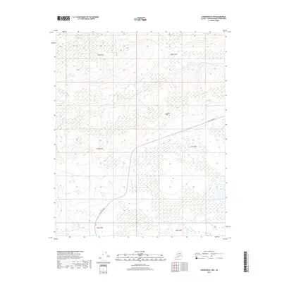
2017 · Livengood B-4 NW
USGS Topo · 1:25,000