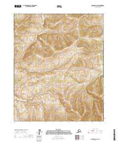
2017 Map of Livengood C-5 SE
USGS Topo · Published 2017About this map
Dalton Highway cuts through this interior landscape, providing a critical transportation link across the north-south axis of this Alaska quadrangle. The terrain is defined by the drainage of Richardson Cr, which winds through the northern sections of the township boundaries. Located within the Yukon-Koyukuk Census Area, this 2017 survey details the topographical relief and wetland distribution of a territory largely dominated by public land divisions. The map highlights the intersection of Township 9 North and Township 8 North, where the high-latitude wilderness meets the essential infrastructure required for northern transit. This document serves as a specific record of the hydrography and elevation contours that shape the route of the highway and its surrounding valleys.
Find a feature on this map
6 named features on this map. Tap any name to fly to it.
Don’t see what you’re looking for? This feature index may not catch every label — zoom into the map to look around manually.
Map Details
Editions of this 2017 Livengood C-5 SE Map
This is the sole edition of this map. No revisions or reprints were ever made.
Other maps of this area

1945 · Livengood
USGS Topo · 1:250,000

1951 · Livengood
USGS Topo · 1:250,000

1952 · Livengood C-5
USGS Topo · 1:63,360

1952 · Livengood B-5
USGS Topo · 1:63,360

1952 · Livengood C-4
USGS Topo · 1:63,360

1953 · Livengood B-4
USGS Topo · 1:63,360

1954 · Livengood C-4
USGS Topo · 1:63,360

1956 · Livengood
USGS Topo · 1:250,000

1964 · Livengood
USGS Topo · 1:250,000
2017 · Livengood C-5 NW
USGS Topo · 1:25,000