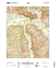
2017 Map of Livengood C-5 NW
USGS Topo · Published 2017About this map
The Alaska Pipeline and the Dalton Highway cut through the northeastern reaches of this interior Alaskan landscape, following the high ground above a network of expansive wetlands. This 2017 survey shows the modern industrial corridor as it coexists with the intricate drainage systems of Hess Cr and Troublesome Cr. The terrain is characterized by winding stream channels and numerous small water bodies across the flats, reflecting the permafrost-driven hydrology of the Yukon-Koyukuk region. This specific quadrangle captures the junction of major energy infrastructure and a largely roadless wilderness, providing a clear view of the logistical lifeline that supports northern development. The map’s focus on the Dalton Highway corridor illustrates the scale of engineering required to traverse this subarctic environment while maintaining the natural flow of the local creeks.
Find a feature on this map
10 named features on this map. Tap any name to fly to it.
Don’t see what you’re looking for? This feature index may not catch every label — zoom into the map to look around manually.
Map Details
Editions of this 2017 Livengood C-5 NW Map
This is the sole edition of this map. No revisions or reprints were ever made.
Other maps of this area

1945 · Livengood
USGS Topo · 1:250,000

1951 · Livengood
USGS Topo · 1:250,000

1952 · Livengood C-5
USGS Topo · 1:63,360

1952 · Livengood D-5
USGS Topo · 1:63,360

1956 · Livengood C-6
USGS Topo · 1:63,360

1956 · Livengood D-6
USGS Topo · 1:63,360

1956 · Livengood
USGS Topo · 1:250,000

1964 · Livengood
USGS Topo · 1:250,000
2017 · Livengood C-5 NE
USGS Topo · 1:25,000
2017 · Livengood C-5 SE
USGS Topo · 1:25,000