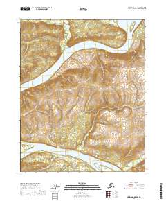
2017 Map of Livengood D-6 SW
USGS Topo · Published 2017About this map
The Yukon River dominates this interior Alaska landscape, carving a wide path through the Yukon-Koyukuk region. In this 2017 study, the river is shown meandering past several prominent landforms, including Sightas Island in the northeast and Kalka Island and Crescent Island further downstream. The complex hydrography of the area is further defined by the Big Salt River entering from the north and Isom Cr draining the southeastern reaches. The terrain is characterized by significant elevation changes that rise steeply from the riverbanks, illustrating the natural drainage patterns of this subarctic environment. The absence of roads or permanent settlements within these township boundaries highlights the wilderness character of the region, where the great river serves as the primary corridor for movement and geography.
Find a feature on this map
10 named features on this map. Tap any name to fly to it.
Don’t see what you’re looking for? This feature index may not catch every label — zoom into the map to look around manually.
Map Details
Editions of this 2017 Livengood D-6 SW Map
This is the sole edition of this map. No revisions or reprints were ever made.
Other maps of this area

1945 · Livengood
USGS Topo · 1:250,000

1951 · Tanana
USGS Topo · 1:250,000

1951 · Livengood
USGS Topo · 1:250,000

1956 · Tanana C-1
USGS Topo · 1:63,360

1956 · Livengood C-6
USGS Topo · 1:63,360

1956 · Livengood D-6
USGS Topo · 1:63,360

1956 · Tanana D-1
USGS Topo · 1:63,360

1956 · Livengood
USGS Topo · 1:250,000

1956 · Tanana
USGS Topo · 1:250,000

1960 · Tanana
USGS Topo · 1:250,000