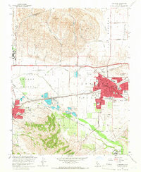
1961 Map of Livermore
USGS Topo · Published 1966About this map
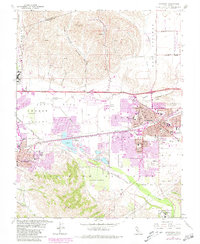
The Amador Valley and Livermore Valley are shown here during a period of significant mid-century transition, where established ranching and agricultural roots meet growing institutional and industrial footprints. The cityscape of Livermore is centered around the competing lines of the Southern Pacific Railroad and the Western Pacific Railroad, which historically drove the region's economy. Notable landmarks like the Livermore Sanitarium and the U S Veterans Administration Hospital highlight the area's role as a center for healthcare and recovery, while the presence of Camp Parks and the U S Government Reservation indicate a strong federal interest.
Find a feature on this map
89 named features on this map. Tap any name to fly to it.
Don’t see what you’re looking for? This feature index may not catch every label — zoom into the map to look around manually.
Map Details
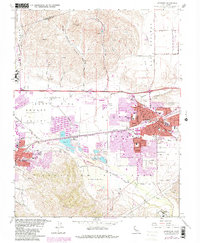
Editions of this 1961 Livermore Map
6 editions found
Other maps of this area

1896 · Mt. Diablo
USGS Topo · 1:62,500

1898 · Mt. Diablo
USGS Topo · 1:62,500

1906 · Pleasanton
USGS Topo · 1:62,500

1907 · Tesla
USGS Topo · 1:62,500

1911 · Byron Hot Springs
USGS Topo · 1:31,680

1916 · Byron Hot Springs
USGS Topo · 1:31,680

1916 · Byron
USGS Topo · 1:62,500

1940 · Byron
USGS Topo · 1:62,500

1941 · Pleasanton
USGS Topo · 1:62,500

1942 · Altamont
USGS Topo · 1:62,500