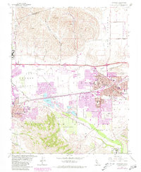
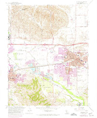
1961 Map of Livermore
USGS Topo · Published 1981About this map
The Amador Valley serves as the focal point for this survey of the East Bay interior, capturing a period of significant transition as agricultural lands began to give way to mid-century suburban expansion. The city of Livermore dominates the eastern half of the map, revealing a dense grid of residential growth around its core, while Pleasanton and East Pleasanton show early development patterns along the Southern Pacific and Western Pacific rail lines. This geography is defined by a network of waterways including Arroyo Mocho and Arroyo Valle, which intersect a landscape of heavy industry marked by numerous Gravel Pits.
Find a feature on this map
48 named features on this map. Tap any name to fly to it.
Don’t see what you’re looking for? This feature index may not catch every label — zoom into the map to look around manually.
Map Details
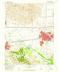
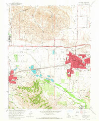
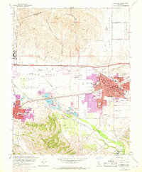
Editions of this 1961 Livermore Map
6 editions found
Other maps of this area

1896 · Mt. Diablo
USGS Topo · 1:62,500

1898 · Mt. Diablo
USGS Topo · 1:62,500

1906 · Pleasanton
USGS Topo · 1:62,500

1907 · Tesla
USGS Topo · 1:62,500

1911 · Byron Hot Springs
USGS Topo · 1:31,680

1916 · Byron Hot Springs
USGS Topo · 1:31,680

1916 · Byron
USGS Topo · 1:62,500

1940 · Byron
USGS Topo · 1:62,500

1941 · Pleasanton
USGS Topo · 1:62,500

1942 · Altamont
USGS Topo · 1:62,500