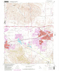
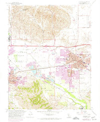
1961 Map of Livermore
USGS Topo · Published 1981About this map
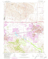
Livermore Valley and the Amador Valley meet in this detailed topographic study, showing a region defined by its vital watercourses and early industrial footprint. The landscape is crisscrossed by the Arroyo Mocho, Arroyo Valle, and Arroyo Las Positas, which served as the natural anchors for the burgeoning towns of Livermore and Pleasanton. At this time, the area’s gravel industry was in full swing, evidenced by the extensive Gravel Pits concentrated near Santa Rita.
Find a feature on this map
45 named features on this map. Tap any name to fly to it.
Don’t see what you’re looking for? This feature index may not catch every label — zoom into the map to look around manually.
Map Details
Editions of this 1961 Livermore Map
6 editions found
Other maps of this area

1896 · Mt. Diablo
USGS Topo · 1:62,500

1898 · Mt. Diablo
USGS Topo · 1:62,500

1906 · Pleasanton
USGS Topo · 1:62,500

1907 · Tesla
USGS Topo · 1:62,500

1911 · Byron Hot Springs
USGS Topo · 1:31,680

1916 · Byron Hot Springs
USGS Topo · 1:31,680

1916 · Byron
USGS Topo · 1:62,500

1940 · Byron
USGS Topo · 1:62,500

1941 · Pleasanton
USGS Topo · 1:62,500

1942 · Altamont
USGS Topo · 1:62,500