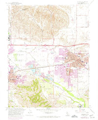
1961 Map of Livermore
USGS Topo · Published 1974About this map
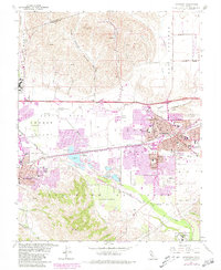
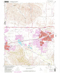
Livermore and Pleasanton anchor this mid-century portrait of the Amador Valley, a landscape transitioning from rural ranching to suburban expansion. The valley floor is marked by extensive extractive industry, including numerous Gravel Pits concentrated near East Pleasanton and along the banks of Arroyo Valle. Vital transportation corridors defined by the Southern Pacific and Western Pacific railroads bisect the valley, supporting a local economy that includes the Santa Rita Rehabilitation Center Annex and the Livermore Municipal Airport.
Find a feature on this map
78 named features on this map. Tap any name to fly to it.
Don’t see what you’re looking for? This feature index may not catch every label — zoom into the map to look around manually.
Map Details
Editions of this 1961 Livermore Map
6 editions found
Other maps of this area

1896 · Mt. Diablo
USGS Topo · 1:62,500

1898 · Mt. Diablo
USGS Topo · 1:62,500

1906 · Pleasanton
USGS Topo · 1:62,500

1907 · Tesla
USGS Topo · 1:62,500

1911 · Byron Hot Springs
USGS Topo · 1:31,680

1916 · Byron Hot Springs
USGS Topo · 1:31,680

1916 · Byron
USGS Topo · 1:62,500

1940 · Byron
USGS Topo · 1:62,500

1941 · Pleasanton
USGS Topo · 1:62,500

1942 · Altamont
USGS Topo · 1:62,500