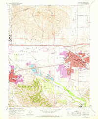
1961 Map of Livermore
USGS Topo · Published 1969About this map
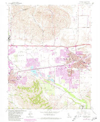
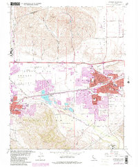
The Livermore Valley serves as a critical junction for infrastructure and agriculture in the early 1960s, defined by the convergence of the Southern Pacific and Western Pacific railroads. The town of Livermore shows significant residential expansion, highlighted by purple-shaded updates that track the growth of neighborhoods near Marilyn Ave Sch and Granada High Sch. To the west, Pleasanton sits near a landscape of heavy industry and natural drainage, where extensive Gravel Pits dominate the terrain between Arroyo Valle and Arroyo Mocho.
Find a feature on this map
81 named features on this map. Tap any name to fly to it.
Don’t see what you’re looking for? This feature index may not catch every label — zoom into the map to look around manually.
Map Details
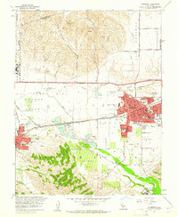
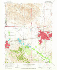
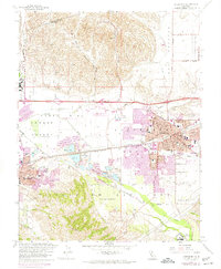
Editions of this 1961 Livermore Map
6 editions found
Other maps of this area

1896 · Mt. Diablo
USGS Topo · 1:62,500

1898 · Mt. Diablo
USGS Topo · 1:62,500

1906 · Pleasanton
USGS Topo · 1:62,500

1907 · Tesla
USGS Topo · 1:62,500

1911 · Byron Hot Springs
USGS Topo · 1:31,680

1916 · Byron Hot Springs
USGS Topo · 1:31,680

1916 · Byron
USGS Topo · 1:62,500

1940 · Byron
USGS Topo · 1:62,500

1941 · Pleasanton
USGS Topo · 1:62,500

1942 · Altamont
USGS Topo · 1:62,500