2023 Map of Liverpool
USGS Topo · Published 2023About this map
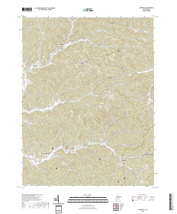
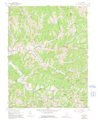
Liverpool and Lockhart anchor this portion of the West Virginia landscape, where the borders of Jackson, Wirt, and Roane counties meet among a complex network of ridges and narrow valleys. The settlement pattern follows the drainage of the Left Fork Sandy Creek and its many tributaries, including Turkey Fork and Lockhart Fork. This modern survey reveals a high concentration of small family and community burial grounds, such as Pleasant Ridge Cem, Gridley Cem, and Garder Cem, often situated on high ground near ridges like Limestone Ridge and Garfield Ridge. The historical road network is represented by Old US Hwy 21 and Parkersburg Rd, which wind through the terrain to connect small hamlets like Wiseburg, Garfield, and Meadowdale. This distribution of cemeteries and named hollows like Stutler Hollow provides a detailed look at the enduring rural layout of these Appalachian foothills.
Find a feature on this map
92 named features on this map. Tap any name to fly to it.
Don’t see what you’re looking for? This feature index may not catch every label — zoom into the map to look around manually.
Map Details
Editions of this 2023 Liverpool Map
This is the sole edition of this map. No revisions or reprints were ever made.
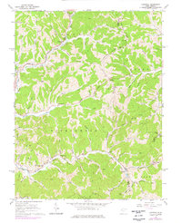
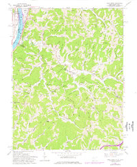
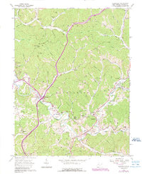
Historical Maps of Roane County Through Time
15 maps found

1906 Kenna
Jackson County, WV
1907 Kenna
Jackson County, WV
1957 Kenna
Jackson County, WV
1957 Kentuck
Jackson County, WV
1960 Gay
Jackson County, WV
1960 Liverpool
Jackson County, WV
1960 Pond Creek
Jackson County, WV
1960 Sandyville
Jackson County, WV
1994 Pond Creek
Jackson County, WV
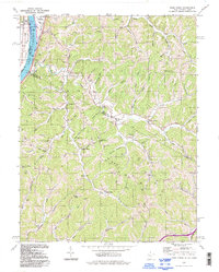
2023 Gay
Jackson County, WV
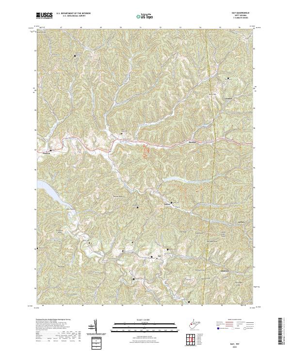
2023 Kenna
Jackson County, WV
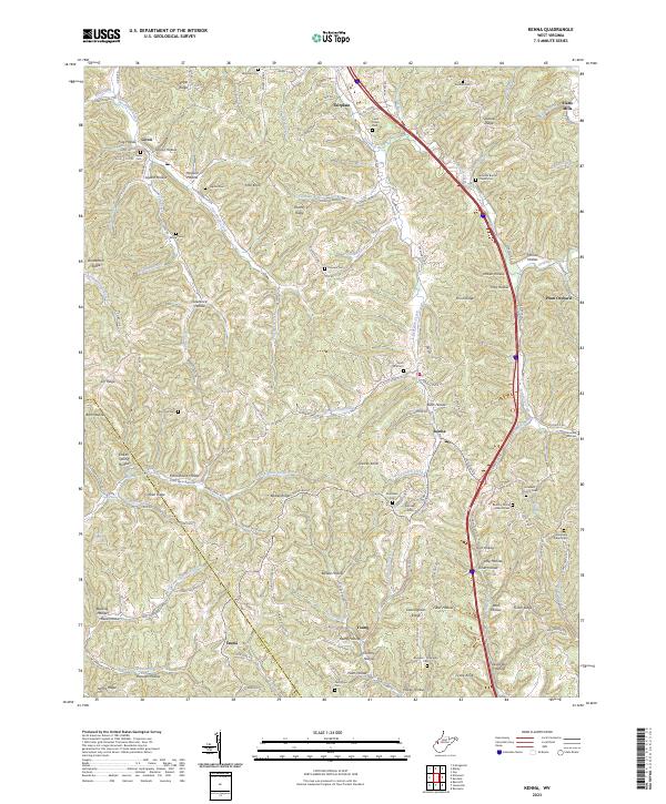
2023 Kentuck
Jackson County, WV
2023 Liverpool
Jackson County, WV
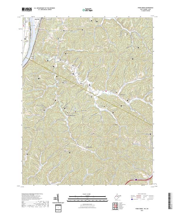
2023 Pond Creek
Jackson County, WV
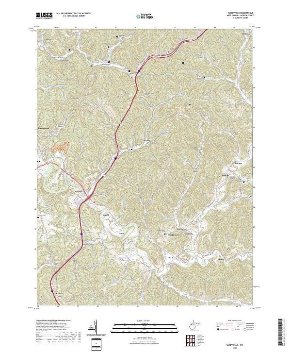
2023 Sandyville
Jackson County, WV