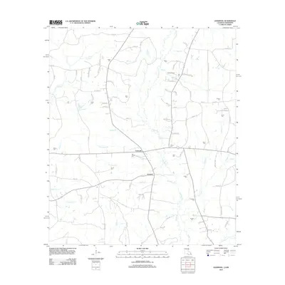
2012 Map of Liverpool
USGS Topo · Published 2012About this map
The Tickfaw River meanders through this portion of Saint Helena Parish, defining a landscape of creek-fed bottomlands and rural homesteads. Small settlements like Liverpool and Easleyville serve as local anchors, connected by a network of country roads such as Old Venable Chapel Rd and Co Rd-167. The area is particularly rich in family-named burial grounds, including the Old Venable Cem, Carruth Cem, and McCoy Cem, which offer significant value for genealogical research. Numerous small waterways, including Cotton Patch Br, Bridges Br, and Ponchatoula Cr, drain into the river system. The presence of specialized sites like the Spring Airport and various family landmarks such as Jack Frazier Ln reflect the personal and agricultural heritage of this North Louisiana region.
Find a feature on this map
104 named features on this map. Tap any name to fly to it.
Don’t see what you’re looking for? This feature index may not catch every label — zoom into the map to look around manually.
Map Details
Editions of this 2012 Liverpool Map
This is the sole edition of this map. No revisions or reprints were ever made.
Other maps of this area

1940 · Roseland
USGS Topo · 1:31,680

1941 · Gilead
USGS Topo · 1:31,680

1941 · Chipola
USGS Topo · 1:31,680

1942 · Roseland
USGS Topo · 1:31,680

1942 · Liverpool
USGS Topo · 1:31,680

1942 · Gilead
USGS Topo · 1:31,680

1945 · Chipola
USGS Topo · 1:31,680

1950 · Kentwood
USGS Topo · 1:31,680

1950 · Greensburg
USGS Topo · 1:31,680

1953 · Natchez
USGS Topo · 1:250,000