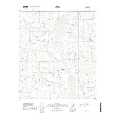
2020 Map of Liverpool
USGS Topo · Published 2020About this map
Tickfaw River meanders through the heart of this Saint Helena Parish landscape, creating a network of tributaries such as Day Church Cr and Cotton Patch Br. The settlement pattern centers on the small communities of Liverpool and Easleyville, which are connected by a web of local routes including Guy Rd and Firetower Rd. This area reflects a deep-rooted local history, characterized by numerous family and community burial grounds that dot the woods and fields, from the Old Venable Cem near the river to the Crittenden Cem in the southeast. The terrain is defined by its watercourses, with the Tickfaw River valley providing a central geographic spine. Notable local aviation history is preserved here at Spring Airport, while several creeks like Peters Cr and Joseph Br highlight the drainage patterns of the Louisiana uplands.
Find a feature on this map
97 named features on this map. Tap any name to fly to it.
Don’t see what you’re looking for? This feature index may not catch every label — zoom into the map to look around manually.
Map Details
Editions of this 2020 Liverpool Map
This is the sole edition of this map. No revisions or reprints were ever made.
Other maps of this area

1940 · Roseland
USGS Topo · 1:31,680

1941 · Gilead
USGS Topo · 1:31,680

1941 · Chipola
USGS Topo · 1:31,680

1942 · Roseland
USGS Topo · 1:31,680

1942 · Liverpool
USGS Topo · 1:31,680

1942 · Gilead
USGS Topo · 1:31,680

1945 · Chipola
USGS Topo · 1:31,680

1950 · Kentwood
USGS Topo · 1:31,680

1950 · Greensburg
USGS Topo · 1:31,680

1953 · Natchez
USGS Topo · 1:250,000