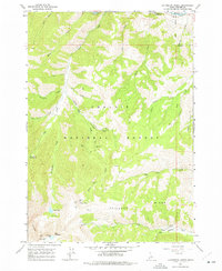
1964 Map of Livingston Creek
USGS Topo · Published 1977About this map
High-altitude mining claims define this portion of the Challis National Forest in the mid-1960s, where extraction sites are concentrated along the steep drainages of the Salmon River watershed. The industrial footprint is most significant near Livingston Creek, which serves as a corridor for the Livingston Mine and the nearby Livingston Mill. These sites, along with others like the Silver Rule Mine and Hermit Mine, illustrate the challenging geography of Idaho's silver and lead prospecting history.
Find a feature on this map
43 named features on this map. Tap any name to fly to it.
Don’t see what you’re looking for? This feature index may not catch every label — zoom into the map to look around manually.
Map Details
Editions of this 1964 Livingston Creek Map
4 editions found
Other maps of this area

1919 · Custer
USGS Topo · 1:125,000

1922 · Custer
USGS Topo · 1:125,000

1929 · Bayhorse
USGS Topo · 1:125,000

1957 · Challis
USGS Topo · 1:250,000

1960 · Challis
USGS Topo · 1:250,000

1963 · Challis
USGS Topo · 1:250,000

1963 · Clayton
USGS Topo · 1:24,000
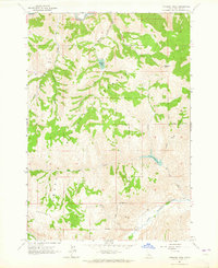
1963 · Potaman Peak
USGS Topo · 1:24,000

1963 · Clayton
USGS Topo · 1:62,500
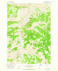
1963 · Bowery Creek
USGS Topo · 1:24,000