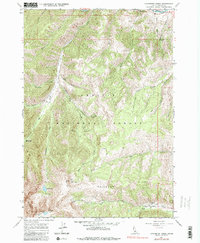
1964 Map of Livingston Creek
USGS Topo · Published 1984About this map
Livingston Mine and its accompanying Livingston Mill anchor a remote mining landscape in Custer County, captured here as it appeared in the mid-1960s. This region of the Challis National Forest was defined by high-altitude extraction, evidenced by a cluster of workings including the Hermit Mine, Little Livingston Mine, and Silver Rule Mine. The presence of several jeep trails and traditional trails underscores the difficulty of accessing these steep drainage basins along Livingston Creek and Slate Creek. Distinctive geological features like The Gunsight and the Chinese Wall rise above the headwaters of Boulder Creek. To the north, the terrain drops toward the Salmon River, where the Holman Creek Campground provides a point of transition between the river corridor and the high backcountry of Railroad Ridge.
Find a feature on this map
46 named features on this map. Tap any name to fly to it.
Don’t see what you’re looking for? This feature index may not catch every label — zoom into the map to look around manually.
Map Details
Editions of this 1964 Livingston Creek Map
4 editions found
Other maps of this area

1919 · Custer
USGS Topo · 1:125,000

1922 · Custer
USGS Topo · 1:125,000

1929 · Bayhorse
USGS Topo · 1:125,000

1957 · Challis
USGS Topo · 1:250,000

1960 · Challis
USGS Topo · 1:250,000

1963 · Challis
USGS Topo · 1:250,000

1963 · Clayton
USGS Topo · 1:24,000
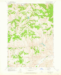
1963 · Potaman Peak
USGS Topo · 1:24,000

1963 · Clayton
USGS Topo · 1:62,500
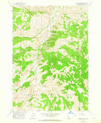
1963 · Bowery Creek
USGS Topo · 1:24,000