Loading...
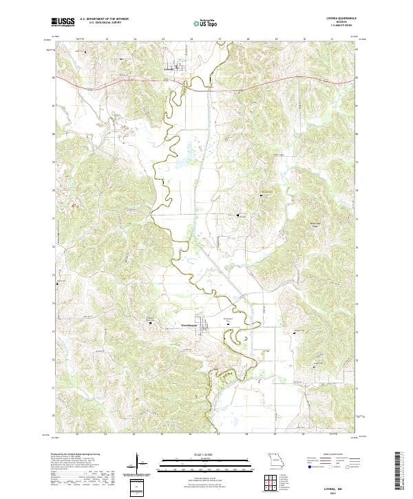
Loading map...2021 Map of Livonia
USGS Topo · Published 2021About this map
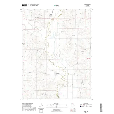
The Chariton River carves a meandering path through the hills of Putnam and Schuyler counties, defining the central landscape of this rural Missouri region. Historically centered on the settlements of Livonia and Worthington, the area is characterized by a dense network of country roads like Goober Run Rd and Fox Pen Rd that connect family farms to local landmarks.
Find a feature on this map
58 named features on this map. Tap any name to fly to it.
Don’t see what you’re looking for? This feature index may not catch every label — zoom into the map to look around manually.
Map Details
Date Portrayed2021
Date Published2021
PublisherU.S. Geological Survey
Map TypeTopographic
Scale1:24,000
Physical Dimensions24 x 29 inches
Editions of this 2021 Livonia Map
This is the sole edition of this map. No revisions or reprints were ever made.
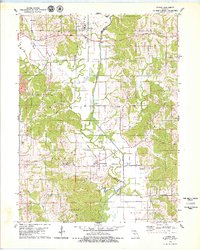
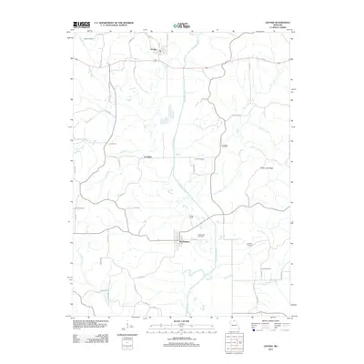
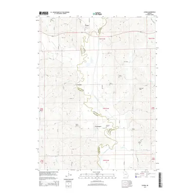
Historical Maps of Livonia Through Time
5 maps found
Featured Locations
Source Details
SourceU.S. Geological Survey
CopyrightPublic Domain