1992 Map of Llano
USGS Topo · Published 1992About this map
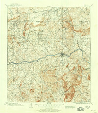
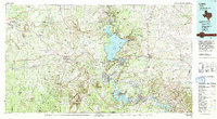
Llano River and the Colorado River dominate this Central Texas landscape, converging where the Highland Lakes chain begins to take shape. This 1992-edited edition reflects a region defined by its distinct geology and hydraulic engineering, featuring the massive expanse of Lake Buchanan and the smaller Inks Lake. The map details the rugged uplift of the Riley Mountains and landmarks like Enchanted Rock, while also showing the urban centers of Llano, Burnet, and Marble Falls. The presence of the Southern Pacific railroad and corridors like 16 and 29 illustrate the transportation network supporting local industries, including several marked quarries. Beyond the major towns, smaller settlements such as Castell, Valley Spring, and Oatmeal provide a view into the rural character of the Texas Hill Country during the late twentieth century.
Find a feature on this map
83 named features on this map. Tap any name to fly to it.
Don’t see what you’re looking for? This feature index may not catch every label — zoom into the map to look around manually.
Map Details
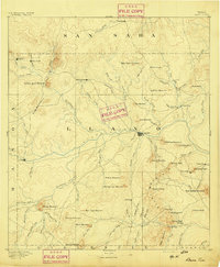
Editions of this 1992 Llano Map
2 editions found
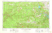
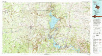
Historical Maps of Marble Falls Through Time
10 maps found