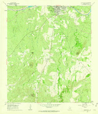
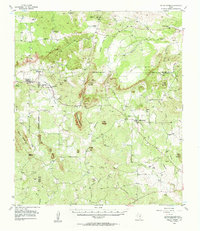
1960 Map of Llano South
USGS Topo · Published 1962About this map
Llano serves as the focal point for this survey, situated where the Southern Pacific tracks and the Llano River intersect. The town landscape of the early 1960s includes the local High Sch, a Racetrack, and a Sewage Disposal plant near the riverbank. South of the main settlement, the terrain transitions into a series of prominent peaks and drainage systems, including Bachelor Peak, Hickory Mountain, and Yearling Head Mountain.
Find a feature on this map
31 named features on this map. Tap any name to fly to it.
Don’t see what you’re looking for? This feature index may not catch every label — zoom into the map to look around manually.
Map Details
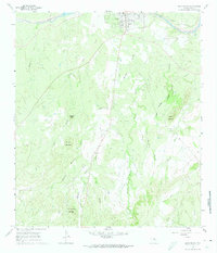
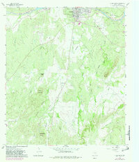
Editions of this 1960 Llano South Map
3 editions found
Other maps of this area

1887 · Llano
USGS Topo · 1:125,000

1894 · Llano
USGS Topo · 1:125,000

1904 · Llano
USGS Topo · 1:125,000

1909 · Llano
USGS Topo · 1:125,000

1918 · Llano
USGS Topo · 1:125,000

1954 · Llano
USGS Topo · 1:250,000

1955 · Llano
USGS Topo · 1:250,000

1955 · Valley Spring
USGS Topo · 1:24,000
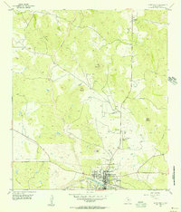
1955 · Llano North
USGS Topo · 1:24,000
1955 · Valley Spring
USGS Topo · 1:62,500