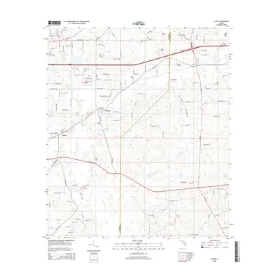
2015 Map of Lloyd
USGS Topo · Published 2015About this map
The Saint Marks River meanders south through the borderlands of Leon and Jefferson counties, anchoring a landscape defined by its complex limestone hydrology. Numerous karstic features, including Patty Sink, Copeland Sink, and Gray Sink, punctuate the terrain, illustrating the subterranean drainage patterns characteristic of this Florida panhandle region. The settlement of Lloyd serves as a local hub along the CSX rail line, while smaller communities such as Capitola and Chaires mark the intersections of historic corridors like Capitola Rd and Mahan Dr.
Find a feature on this map
144 named features on this map. Tap any name to fly to it.
Don’t see what you’re looking for? This feature index may not catch every label — zoom into the map to look around manually.
Map Details
Editions of this 2015 Lloyd Map
This is the sole edition of this map. No revisions or reprints were ever made.
Other maps of this area

1954 · Lloyd
USGS Topo · 1:24,000

1954 · Lafayette
USGS Topo · 1:24,000

1954 · Cody
USGS Topo · 1:24,000

1954 · Woodville
USGS Topo · 1:24,000

1954 · Valdosta
USGS Topo · 1:250,000

1954 · Tallahassee
USGS Topo · 1:250,000

1955 · Waukeenah
USGS Topo · 1:24,000

1955 · Wacissa
USGS Topo · 1:24,000

1958 · Valdosta
USGS Topo · 1:250,000

1959 · Tallahassee
USGS Topo · 1:250,000