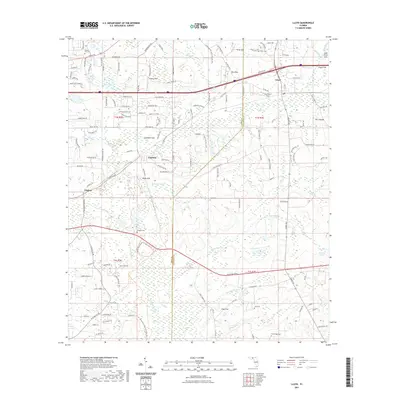
2021 Map of Lloyd
USGS Topo · Published 2021About this map
The Saint Marks River carves through this landscape on the border of Leon and Jefferson Counties, anchoring the St Marks River Preserve State Park. The region is defined by a complex karst topography, evidenced by numerous solution features such as Bird Sink, Creek Sink, and Gray Sink. These natural drainage points reveal the intricate relationship between the surface water and the underlying limestone, a characteristic common to the Floridan aquifer's recharge zones.
Find a feature on this map
51 named features on this map. Tap any name to fly to it.
Don’t see what you’re looking for? This feature index may not catch every label — zoom into the map to look around manually.
Map Details
Editions of this 2021 Lloyd Map
This is the sole edition of this map. No revisions or reprints were ever made.
Other maps of this area
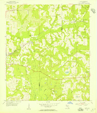
1954 · Lloyd
USGS Topo · 1:24,000
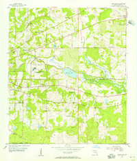
1954 · Lafayette
USGS Topo · 1:24,000
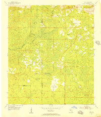
1954 · Cody
USGS Topo · 1:24,000
1954 · Woodville
USGS Topo · 1:24,000
1954 · Valdosta
USGS Topo · 1:250,000

1954 · Tallahassee
USGS Topo · 1:250,000
1955 · Waukeenah
USGS Topo · 1:24,000
1955 · Wacissa
USGS Topo · 1:24,000
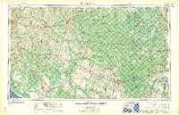
1958 · Valdosta
USGS Topo · 1:250,000
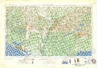
1959 · Tallahassee
USGS Topo · 1:250,000