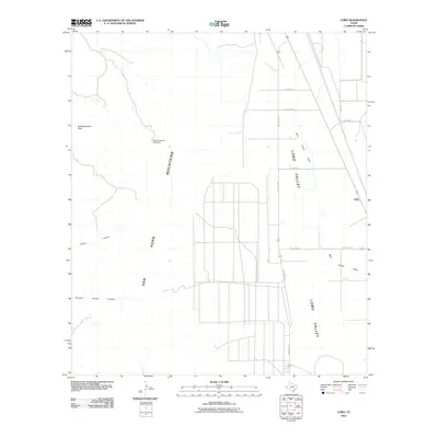
2010 Map of Lobo
USGS Topo · Published 2010About this map
Lobo stands as a focal point in this Trans-Pecos landscape, situated at the eastern edge of the expansive Lobo Valley. The terrain is defined by the stark transition from the alluvial flats of the valley floor to the rugged elevations of the Van Horn Mountains in the west. Key topographical landmarks such as HighLonesome Peak and the drainage patterns of China Canyon and Hammer Handle Canyon illustrate the arid hydrology of the region. This 2010 survey highlights a sparse infrastructure network, where essential water sources like HighLonesome Windmill and seasonal routes like Wild Horse Creek dictate the utility of the land. The presence of specialized transport markers, including Lobo Spur 1 and Lobo Spur 2, reflects the historical reliance on ranch roads and rail-adjacent spurs to navigate this high-desert environment.
Find a feature on this map
16 named features on this map. Tap any name to fly to it.
Don’t see what you’re looking for? This feature index may not catch every label — zoom into the map to look around manually.
Map Details
Editions of this 2010 Lobo Map
This is the sole edition of this map. No revisions or reprints were ever made.
Other maps of this area
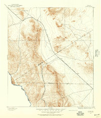
1892 · Chispa
USGS Topo · 1:125,000
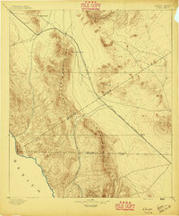
1895 · Chispa
USGS Topo · 1:125,000
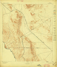
1897 · Chispa
USGS Topo · 1:125,000
1959 · Marfa
USGS Topo · 1:250,000
1965 · Marfa
USGS Topo · 1:250,000
1972 · Chispa Mountain NW
USGS Topo · 1:24,000
1972 · Van Horn Wells
USGS Topo · 1:24,000
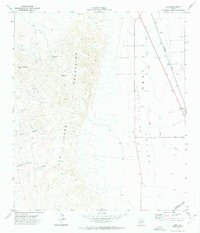
1972 · Lobo
USGS Topo · 1:24,000
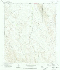
1972 · Lobo SW
USGS Topo · 1:24,000
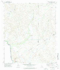
1972 · Mesquite Spring
USGS Topo · 1:24,000