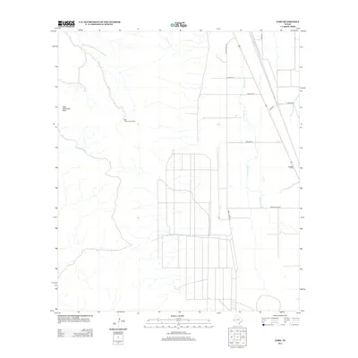
2012 Map of Lobo
USGS Topo · Published 2012About this map
Lobo serves as the primary focal point in this Trans-Pecos landscape, situated along the corridor of Lobo Rd and the Southern Pacific rail line. The terrain is characterized by the expansive drainage of Wild Horse Creek, which flows northward through the basin between distant mountain ranges. To the west, the elevation rises toward High Lonesome Peak, a prominent landmark that overlooks the valley floor.
Find a feature on this map
13 named features on this map. Tap any name to fly to it.
Don’t see what you’re looking for? This feature index may not catch every label — zoom into the map to look around manually.
Map Details
Editions of this 2012 Lobo Map
This is the sole edition of this map. No revisions or reprints were ever made.
Other maps of this area

1892 · Chispa
USGS Topo · 1:125,000

1895 · Chispa
USGS Topo · 1:125,000

1897 · Chispa
USGS Topo · 1:125,000

1959 · Marfa
USGS Topo · 1:250,000

1965 · Marfa
USGS Topo · 1:250,000
1972 · Chispa Mountain NW
USGS Topo · 1:24,000
1972 · Van Horn Wells
USGS Topo · 1:24,000
1972 · Lobo
USGS Topo · 1:24,000
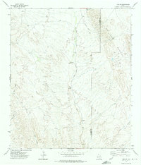
1972 · Lobo SW
USGS Topo · 1:24,000
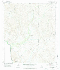
1972 · Mesquite Spring
USGS Topo · 1:24,000