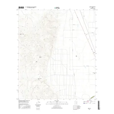
2016 Map of Lobo
USGS Topo · Published 2016About this map
The Van Horn Mountains dominate the western half of this Trans-Pecos landscape, rising sharply toward High Lonesome Peak. This 2016 survey illustrates the dramatic elevation change between the mountain front and the flat expanse of Lobo Valley to the east. The rugged western terrain is etched by drainage systems like China Canyon and Hammer Handle Canyon, which shed water toward the basin floor. The settlement of Lobo sits on the eastern edge of the quadrangle, serving as a focal point along the primary transportation corridor that parallels the mountain range. This corridor, defined by the path of Wild Horse Cr and Wild Horse Draw, supports local infrastructure including Ranch Rd 1523 and agricultural spurs like Lobo Spur 1, reflecting the region's enduring ranching and transit economy at the boundary of Culberson and Jeff Davis counties.
Find a feature on this map
15 named features on this map. Tap any name to fly to it.
Don’t see what you’re looking for? This feature index may not catch every label — zoom into the map to look around manually.
Map Details
Editions of this 2016 Lobo Map
This is the sole edition of this map. No revisions or reprints were ever made.
Other maps of this area

1892 · Chispa
USGS Topo · 1:125,000

1895 · Chispa
USGS Topo · 1:125,000

1897 · Chispa
USGS Topo · 1:125,000

1959 · Marfa
USGS Topo · 1:250,000

1965 · Marfa
USGS Topo · 1:250,000
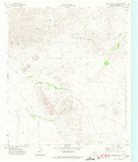
1972 · Chispa Mountain NW
USGS Topo · 1:24,000
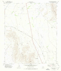
1972 · Van Horn Wells
USGS Topo · 1:24,000
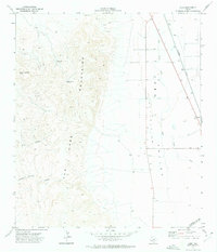
1972 · Lobo
USGS Topo · 1:24,000
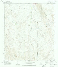
1972 · Lobo SW
USGS Topo · 1:24,000
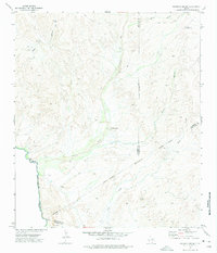
1972 · Mesquite Spring
USGS Topo · 1:24,000