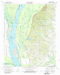
1970 Map of Locke
USGS Topo · Published 1987About this map
The Mississippi River creates a dynamic western boundary for Shelby County, where the massive Meeman-Shelby State Forest Park dominates the floodplains and bluffs. The landscape is defined by the high ground of Chickasaw Bluff No 2 and Chickasaw Bluff No 3, which separate the river’s complex network of chutes and sloughs, such as Old Brandywine Chute, from the upland settlements. Traditional rural communities like Locke and Giles Town are situated along the ridges, characterized by neighborhood institutions like the Jeter Sch and Mt Pisgah Ch.
Find a feature on this map
85 named features on this map. Tap any name to fly to it.
Don’t see what you’re looking for? This feature index may not catch every label — zoom into the map to look around manually.
Map Details
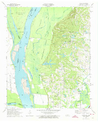
Editions of this 1970 Locke Map
2 editions found
Other maps of this area

1916 · Memphis
USGS Topo · 1:62,500

1925 · Memphis
USGS Topo · 1:48,000

1927 · Memphis
USGS Topo · 1:62,500

1931 · Jericho
USGS Topo · 1:62,500

1939 · Jericho
USGS Topo · 1:62,500

1939 · Memphis
USGS Topo · 1:62,500

1942 · Millington
USGS Topo · 1:62,500

1952 · Jericho
USGS Topo · 1:62,500

1953 · Memphis
USGS Topo · 1:250,000

1955 · Memphis
USGS Topo · 1:62,500