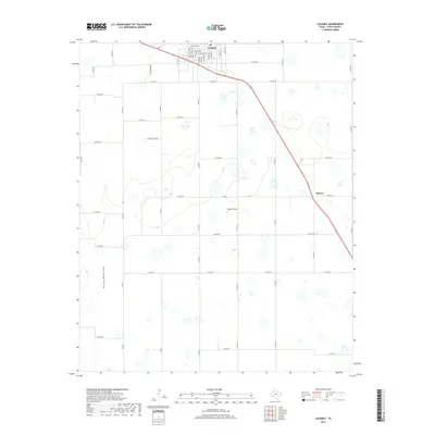
2019 Map of Lockney
USGS Topo · Published 2019About this map
The agricultural landscape of Floyd County is anchored by the community of Lockney, located in the northern portion of the quadrangle. The town's grid is clearly defined by local streets including W College St, W Poplar St, and W Spruce St. South of the main settlement, the land is marked by a network of rural county roads and farm-to-market routes that support the regional farming economy. Muncy appears as a small locality along a primary thoroughfare in the eastern section of the map. The natural topography is shaped by the presence of Running Water Draw, which winds through the western half of the territory, surrounded by numerous small depressions and basins common to the High Plains. This 2019 survey illustrates the established intersection of modern infrastructure and traditional West Texas agriculture, tracing the layout of farm lanes like Co Rd 172 and Co Rd 212.
Find a feature on this map
37 named features on this map. Tap any name to fly to it.
Don’t see what you’re looking for? This feature index may not catch every label — zoom into the map to look around manually.
Map Details
Editions of this 2019 Lockney Map
This is the sole edition of this map. No revisions or reprints were ever made.
Other maps of this area

1954 · Lubbock
USGS Topo · 1:250,000

1954 · Plainview
USGS Topo · 1:250,000

1958 · Plainview
USGS Topo · 1:250,000

1965 · Lockney SE
USGS Topo · 1:24,000

1965 · Floydada
USGS Topo · 1:24,000

1965 · Lockney
USGS Topo · 1:24,000

1965 · Sandhill
USGS Topo · 1:24,000

1966 · Sterley
USGS Topo · 1:24,000

1966 · South Plains
USGS Topo · 1:24,000

1968 · Barwise
USGS Topo · 1:24,000