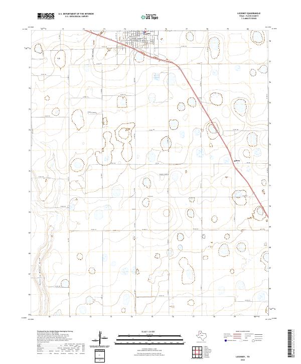
2022 Map of Lockney
USGS Topo · Published 2022About this map
Lockney serves as the primary urban center for this corner of the Texas Panhandle, positioned at the intersection of critical regional corridors. The town's grid is detailed down to streets like W College St and W Willow St, illustrating a compact community surrounded by an expansive agricultural landscape. To the southeast, the settlement of Muncy sits along the rail line and major highway, marking a distinct point of activity in an otherwise rural expanse.
Find a feature on this map
46 named features on this map. Tap any name to fly to it.
Don’t see what you’re looking for? This feature index may not catch every label — zoom into the map to look around manually.
Map Details
Editions of this 2022 Lockney Map
This is the sole edition of this map. No revisions or reprints were ever made.
Other maps of this area

1954 · Lubbock
USGS Topo · 1:250,000

1954 · Plainview
USGS Topo · 1:250,000

1958 · Plainview
USGS Topo · 1:250,000

1965 · Lockney SE
USGS Topo · 1:24,000

1965 · Floydada
USGS Topo · 1:24,000

1965 · Lockney
USGS Topo · 1:24,000

1965 · Sandhill
USGS Topo · 1:24,000

1966 · Sterley
USGS Topo · 1:24,000

1966 · South Plains
USGS Topo · 1:24,000

1968 · Barwise
USGS Topo · 1:24,000