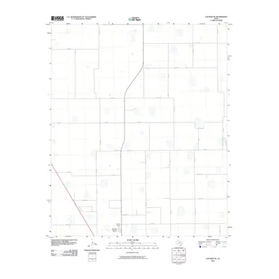
2010 Map of Lockney SE
USGS Topo · Published 2010About this map
Floydada Cemetery sits near the southern edge of this West Texas quadrangle, serving as a significant landmark for family historians and genealogists researching this portion of Floyd County. The landscape is characterized by a dense grid of rural corridors, including Co RD 160 and Co RD 180, which provide access to the vast agricultural sections typical of the Llano Estacado. These straight-line roads, such as Co RD 149 and Co RD 212, reveal the meticulous township and range organization of the high plains.
Find a feature on this map
23 named features on this map. Tap any name to fly to it.
Don’t see what you’re looking for? This feature index may not catch every label — zoom into the map to look around manually.
Map Details
Editions of this 2010 Lockney SE Map
This is the sole edition of this map. No revisions or reprints were ever made.
Other maps of this area

1954 · Lubbock
USGS Topo · 1:250,000

1954 · Plainview
USGS Topo · 1:250,000

1958 · Plainview
USGS Topo · 1:250,000

1965 · Lockney SE
USGS Topo · 1:24,000

1965 · Floydada
USGS Topo · 1:24,000

1965 · Lockney
USGS Topo · 1:24,000

1965 · Boothe
USGS Topo · 1:24,000

1965 · Sandhill
USGS Topo · 1:24,000

1966 · Sterley
USGS Topo · 1:24,000

1966 · South Plains
USGS Topo · 1:24,000