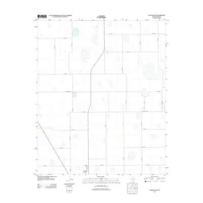
2012 Map of Lockney SE
USGS Topo · Published 2012About this map
Floydada Cem lies at the southern edge of this West Texas landscape, a quiet anchor for local genealogy and regional history. The terrain is defined by a dense grid of rural corridors, including north-south routes like Co Rd-151 and Co Rd-149 that segment the High Plains acreage. Transportation and connectivity are central to this area's layout, underscored by the presence of the Floydada Municipal Airport and the path of Ranch Road 786. This 2012 survey illustrates the organized, geometric division of Floyd County land typical of Texas Panhandle agriculture. The map provides a clear look at the intersection of local infrastructure and private property, where long-established section lines and county roads such as Co Rd-232 form the primary network for the farming community.
Find a feature on this map
22 named features on this map. Tap any name to fly to it.
Don’t see what you’re looking for? This feature index may not catch every label — zoom into the map to look around manually.
Map Details
Editions of this 2012 Lockney SE Map
This is the sole edition of this map. No revisions or reprints were ever made.
Other maps of this area

1954 · Lubbock
USGS Topo · 1:250,000

1954 · Plainview
USGS Topo · 1:250,000

1958 · Plainview
USGS Topo · 1:250,000

1965 · Lockney SE
USGS Topo · 1:24,000

1965 · Floydada
USGS Topo · 1:24,000

1965 · Lockney
USGS Topo · 1:24,000

1965 · Boothe
USGS Topo · 1:24,000

1965 · Sandhill
USGS Topo · 1:24,000

1966 · Sterley
USGS Topo · 1:24,000

1966 · South Plains
USGS Topo · 1:24,000