2016 Map of Lockney SE
USGS Topo · Published 2016About this map
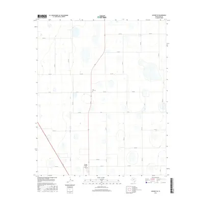
High Plains agriculture and rural transportation define this portion of Floyd County, where a rigid grid of county roads segments the landscape. The Della Plain Cem serves as a silent landmark of early settlement in the northern reaches of the quadrangle, while further south, the Floydada Cem and the Floydada Municipal Airport sit at the edge of local industry and community life. State-maintained routes such as FM 786 and FM 651 provide the primary corridors through this open terrain, connecting scattered farmsteads and agricultural operations. The numerous ephemeral basins and depressions visible across the plains suggest a landscape shaped by natural drainage patterns, even as human development has organized the land into precise rectangular blocks via routes like Co RD 180 and Co RD 160.
Find a feature on this map
24 named features on this map. Tap any name to fly to it.
Don’t see what you’re looking for? This feature index may not catch every label — zoom into the map to look around manually.
Map Details
Editions of this 2016 Lockney SE Map
This is the sole edition of this map. No revisions or reprints were ever made.
Other maps of this area

1954 · Lubbock
USGS Topo · 1:250,000

1954 · Plainview
USGS Topo · 1:250,000

1958 · Plainview
USGS Topo · 1:250,000

1965 · Lockney SE
USGS Topo · 1:24,000

1965 · Floydada
USGS Topo · 1:24,000

1965 · Lockney
USGS Topo · 1:24,000

1965 · Boothe
USGS Topo · 1:24,000

1965 · Sandhill
USGS Topo · 1:24,000

1966 · Sterley
USGS Topo · 1:24,000

1966 · South Plains
USGS Topo · 1:24,000