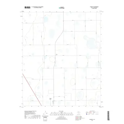
2019 Map of Lockney SE
USGS Topo · Published 2019About this map
Della Plain Cem stands as a quiet marker of early High Plains settlement in this portion of Floyd County. The landscape is defined by an extensive grid of agricultural roads, including Co RD 180 and Co RD 192, which connect the scattered rural homesteads and farmsteads of the Llano Estacado. This 2019 survey shows the area's modern infrastructure, anchored by the Floydada Municipal Airport in the south. The presence of Floydada Cem near the southern boundary, along with state-maintained routes like FM 786, highlights the enduring layout of this farming region. The terrain is characterized by numerous small, seasonally wet depressions and basins that pockmark the plains, a classic geological feature of the Texas Panhandle visible between the intersections of the county road network.
Find a feature on this map
24 named features on this map. Tap any name to fly to it.
Don’t see what you’re looking for? This feature index may not catch every label — zoom into the map to look around manually.
Map Details
Editions of this 2019 Lockney SE Map
This is the sole edition of this map. No revisions or reprints were ever made.
Other maps of this area

1954 · Lubbock
USGS Topo · 1:250,000

1954 · Plainview
USGS Topo · 1:250,000

1958 · Plainview
USGS Topo · 1:250,000

1965 · Lockney SE
USGS Topo · 1:24,000

1965 · Floydada
USGS Topo · 1:24,000

1965 · Lockney
USGS Topo · 1:24,000

1965 · Boothe
USGS Topo · 1:24,000

1965 · Sandhill
USGS Topo · 1:24,000

1966 · Sterley
USGS Topo · 1:24,000

1966 · South Plains
USGS Topo · 1:24,000