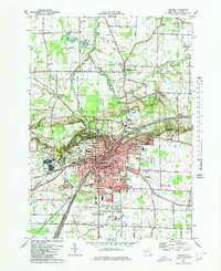
1980 Map of Lockport
USGS Topo · Published 1980About this map
The Erie Canal cuts directly through the heart of Lockport, defining the city’s industrial and transit corridor as it appeared in the late 20th century. This 1980 survey reveals a high density of civic and religious institutions, from the Niagara County Courthouse to the Wyndham Lawn Home. To the west, the dramatic ravine known as The Gulf contrasts with the structured grid of the city, while the surrounding landscape transitions into the residential pockets of Highland Park and South Lockport.
Find a feature on this map
140 named features on this map. Tap any name to fly to it.
Don’t see what you’re looking for? This feature index may not catch every label — zoom into the map to look around manually.
Map Details
Editions of this 1980 Lockport Map
3 editions found
Other maps of this area

1894 · Wilson
USGS Topo · 1:62,500

1897 · Tonawanda
USGS Topo · 1:62,500

1897 · Olcott
USGS Topo · 1:62,500

1897 · Lockport
USGS Topo · 1:62,500

1899 · Niagara
USGS Topo · 1:125,000

1900 · Wilson
USGS Topo · 1:62,500

1900 · Tonawanda
USGS Topo · 1:62,500

1901 · Tonawanda
USGS Topo · 1:62,500

1902 · Lockport
USGS Topo · 1:62,500

1905 · Lockport
USGS Topo · 1:62,500